As North Texas winter storm ends, drivers should stay cautious on roads that may refreeze
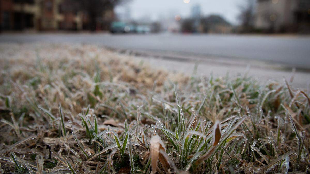
As North Texas moved into its second day of a winter storm warning Thursday, the region stayed cold, with high temperatures in the low 30s, and more frozen precipitation caused more ice on roads.
Schools and some early voting locations were closed Thursday, and trash pickup was delayed. The Fort Worth school district will reopen Friday on a two-hour delay.
While temperatures are expected to warm up Friday and Saturday, the National Weather Service said drivers should still practice caution on the region’s roads as they may refreeze.
The forecast for Friday into Saturday calls for a light wintry mix turning into rain that prevails into Saturday evening.
How much ice did we get?
In the Metroplex region, most areas saw between 0.1 to 0.3 inches of rain and sleet throughout Wednesday.
Dallas-Fort Worth Airport — where hundreds of flights were canceled — saw about 0.26 inches, Dallas recorded around 0.12 inches and Fort Worth saw the most ice accumulation at 0.21 inches, George Delanjian, a meteorologist at Southwest Airlines, tweeted around 6 a.m. Thursday.
A little farther north, areas including North Richland Hills reported around 0.12 inches of ice and sleet accumulation within 24 hours.
More freezing rain and sleet was reported in the Fort Worth area before 1 p.m., before dropping to a slight chance later Thursday afternoon before the warning expired, the National Weather Service reported.
What are road conditions looking like?
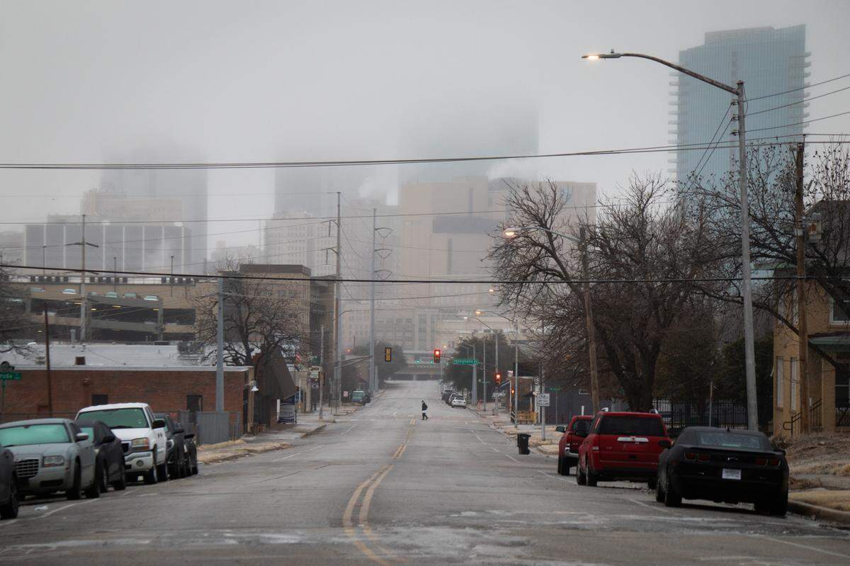
The National Weather Service said roads were “treacherous” Thursday after the region received sleet and ice.
A winter storm warning was expected to end at 6 p.m. Thursday for Tarrant, Dallas and surrounding counties.
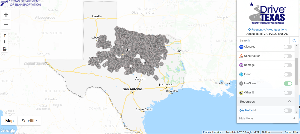
By 5 a.m. Thursday, most of North and Central Texas were reporting dangerous, icy roads and those conditions continued into the afternoon, according to TxDOT. The weather service said that with temperatures hovering around freezing later Thursday afternoon, some minor improvements to road conditions were expected.
Residents were being advised earlier Thursday to stay off the roads unless necessary.
“As usual, the [Fort Worth Police] Department advises to avoid all travel unless necessary, allow plenty of braking distance between you and the vehicle in front of you and avoid sudden acceleration or sudden braking,” police spokesperson Shawn Stone said Thursday morning. “All roadways remain slick with hidden areas of ice, especially the surface streets. If traveling on the Interstate roadways and other high-volume arteries, try to maintain much larger distances between you and the vehicles in front of you.”
Stone added that he saw falling mist was freezing “immediately when the windshield wipers are activated, especially at speeds on the freeways and this can suddenly obscure your forward vision,” and he noticed highway traffic “steadily increasing” by around 5:45 a.m.
What about accidents?
MedStar said that it responded to nine crashes between 5 a.m. and 5 p.m. Thursday, along with 41 weather-related falls and six calls about hypothermia.
The emergency medical company responded to 77 accidents in total Wednesday, which was a 250% increase compared with its typical daily response. Thirty-five of Wednesday’s accidents resulted in patients being transported to local hospitals, a spokesperson for MedStar said.
“Seventeen falls from the ice and nine cold exposure calls,” a tweet from the EMS group said. “Good day for virtual ANYTHING, and hot chocolate! Please try to stay home today if you can!”
MedStar urged residents to be careful walking: “ice is as dangerous to walk on as to drive on.”
What is the weekend forecast looking like?
Friday will be slightly warmer than what North Texas saw Wednesday and Thursday, with a high in the lower to mid 40s by Friday afternoon, which is expected to help with road conditions, the National Weather Service said. Roads on Friday and Saturday mornings may still be dangerous to drive on despite the warmer temperatures, especially overpasses and other elevated surfaces, so the service advises caution while on the road.
Overnight Friday lows are expected to reach the mid-30s before temperatures rise by mid-morning Saturday and rain continues into the afternoon and evening.
“One last round of wintry weather will be possible late Friday night into Saturday morning. A wintry mix of freezing rain and possibly light snow will impact areas mainly north and west of the Dallas/Fort Worth Metroplex,” the weather service said. “Little to no accumulation is expected, but motorists should continue to exercise caution. Temperatures will rise above freezing region wide by late morning, and rain will prevail Saturday afternoon and evening.”
The chance of precipitation Saturday remains around 60%, with temperatures similar to Friday.
The sun is expected to come back out Sunday as temperatures will reach the mid to high 50s.
Staff writer James Hartley contributed to this report.
This story was originally published February 24, 2022 at 5:43 AM.