Storms and showers to stick around North Texas this week. Here’s the latest
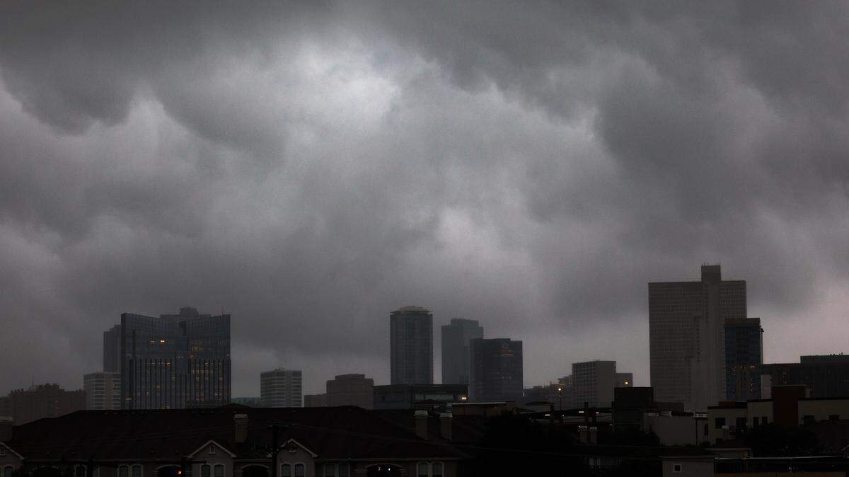
Storms are expected to continue in North Texas this week.
July has gotten off to a stormy start for the Metroplex, with the National Weather Service Fort Worth recording rainfall on five of the seven days of the month for a total of 0.19 inch. Trace amounts of rain, which are anything under 0.01 inch, were recorded on the other two days.
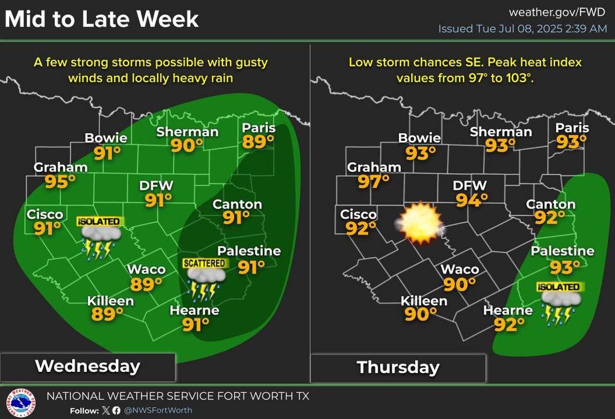
Isolated to scattered storms are in the mix for the region on Tuesday, July 8, with higher chances in East Texas, per the NWS. The severe weather threat is low, however, the threat of gusty winds and localized flooding remains.
Similar stormy conditions are in the hopper for Wednesday, July 9. Again, severe weather is not expected, but storms could produce lightning and gusty winds.
By Thursday, July 10, storm chances will miss most of the Metroplex and stick around the southeastern part of the region around Palestine, according to the NWS.
Warm and mostly rain-free weekend ahead
Heading into the weekend, conditions will be warm and mostly rain-free in North Texas.
High temperatures will be in the mid-90s for much of the weekend, with heat index values right around 100 degrees, according to the NWS. The heat index is the “feels like” temperature that is calculated by air temperature and either dew point or relative humidity.
Storm chances (20 percent) return to the forecast late Saturday, July 12, into Sunday, July 13.
DFW weekly temperatures outlook
- Tuesday, July 8- 91 degrees
- Wednesday, July 9- 92 degrees
- Thursday, July 10- 95 degrees
- Friday, July 11- 95 degrees
- Saturday, July 12- 95 degrees
- Sunday, July 13- 95 degrees
- Monday, July 14- 95 degrees