Will North Texas see a white Christmas? Here’s the early outlook for snow in Fort Worth
North Texas has already recorded its first freeze of the season, along with a few blustery days in December.
Could it be possible that Fort Worth — or any part of the Metroplex — might wake up to a white Christmas in less than two weeks?
We’ve seen it before.
The last time Dallas-Fort Worth had a white (and icy) Christmas was in 2012. That day “started out a dreary gray across North Texas, but by midafternoon it was decidedly white,” the Star-Telegram reported.
And frigid: Morning lows were around 17 with wind chill readings of 1 to 6 degrees.
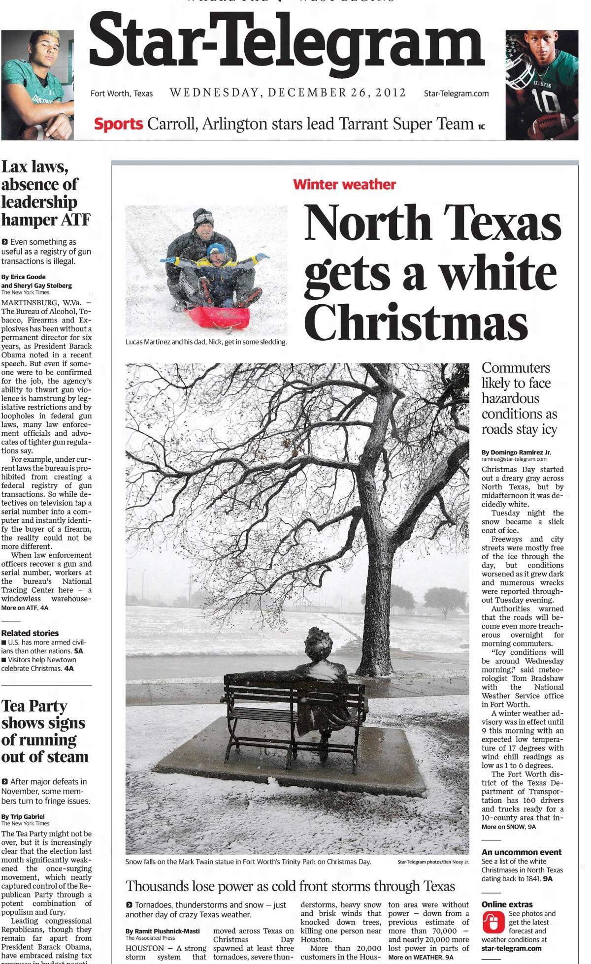
The Red River region received four to six inches of snow that Christmas.
Before then, 2009 was another year when snow lovers in Fort Worth got lucky on Dec. 25.
What about this year? While anything is possible, it’s not looking likely, said Daniel Huckaby, a meteorologist at the National Weather Service in Fort Worth.
“It doesn’t happen very often,” he said.
The weather service tends to focus on seven-day forecasts, not two weeks out. But Huckaby says nothing looks out of the ordinary for later this month.
“We tend to be dry around Christmas time and generally cool,” Huckaby told the Star-Telegram.
Above normal temperatures on Christmas
On Wednesday, Dec. 11, the Climate Prediction Center released its eight- to 14-day temperature and precipitation outlooks for the country.
The outlooks for Dec. 19-25 show above normal temperatures and near normal precipitation for North Texas on Christmas Day.
.gif "814temp.new (3).gif")
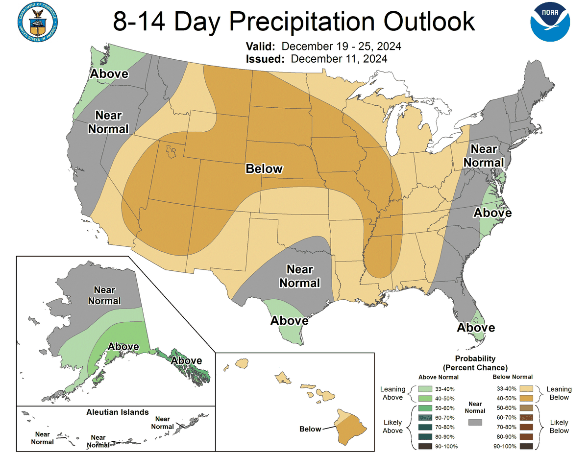
“Above normal” doesn’t always mean extreme. We could see highs only a few degrees above averages, according to the NWS.
The normal high for Fort Worth on Dec. 25 is 56 degrees, according to climate data. The normal low is 37 degrees.
.JPG "AHi_j0105(84).JPG")
2024-2025 winter weather forecast
The National Weather Service in Fort Worth released its 2024-2025 winter outlook for North Texas in November, which said that La Niña conditions are likely.
During La Niña, which means “little girl” in Spanish, trade winds are stronger than normal and push more warm water towards Asia, according to the National Ocean Service. In return, colder water rises to the surface off the coast of the Americas.
Cold water in the Pacific Ocean pushes the jet stream northward in La Niña. This leads to drought in the southern parts of the country and heavy rain/flooding in the northern parts.
Additionally, during La Niña winter temperatures are warmer in the south and cooler in the north.
El Niño and La Niña typically last nine to 12 months, but sometimes last for years. On average, both events occur every two to seven years.