Fort Worth leaders have long said Panther Island will be 800 acres. Here’s a fact check

READ MORE
Transformation on the Trinity
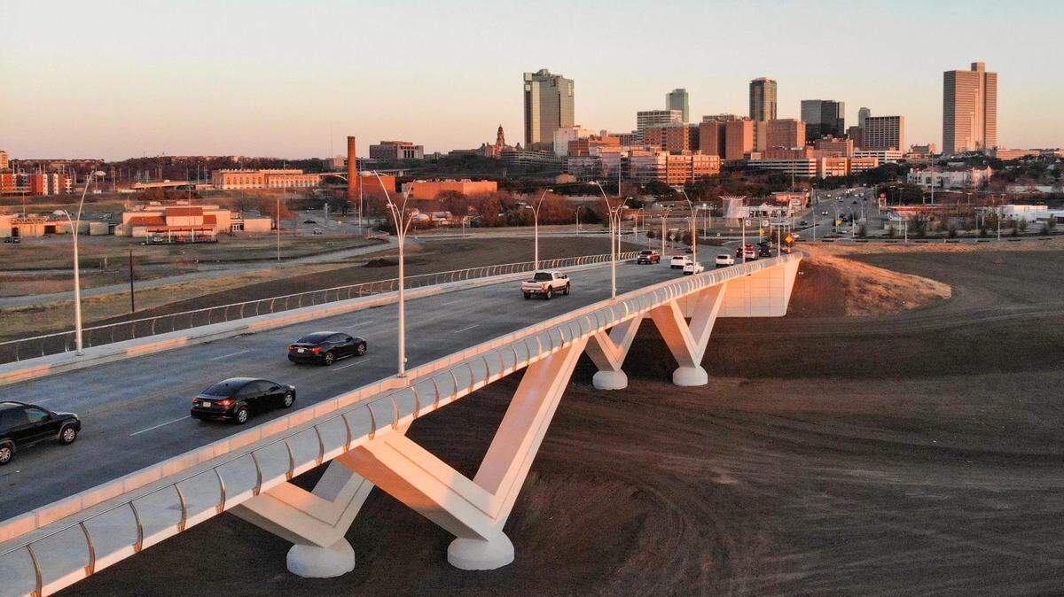
The riverfront property is not much to look at today. But if Fort Worth’s vision for Panther Island comes true, that will all change — and dozens of landowners will pocket the profits.
Expand All
Panther Island: Who owns the land that could become Fort Worth’s hottest real estate?
What is Panther Island?

Fort Worth leaders have long said Panther Island will be 800 acres. Here’s a fact check

We asked what you want to see on Fort Worth’s Panther Island. Here’s what you said.
See how Panther Island looks now vs. what’s planned along Fort Worth’s riverfront
For well over a decade, Fort Worth officials, government documents and news coverage have described the Panther Island redevelopment project as 800 acres.
That figure appears across the Panther Island/Central City website. The project is an “800-acre district.” Panther Island will be “an 800-acre development doubling the size of the central business district,” and the plan will “open the development of over 800 acres.”
The number pops up in a statement from U.S. Rep. Kay Granger, who has championed the riverfront project.
But here’s the catch: Panther Island is not 800 acres. Not exactly.
To understand the actual size of Panther Island, and what officials were referring to when they used the 800-acre figure, the Star-Telegram compared numerous project maps spanning more than a decade, compiled public land records and spoke with officials at the city of Fort Worth and the Tarrant Regional Water District.
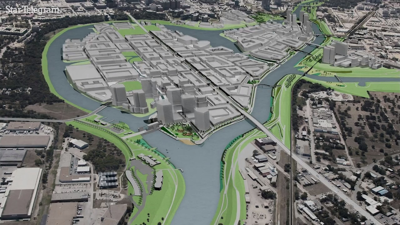
First, it’s crucial to understand the project itself. The Panther Island redevelopment project is a plan to cut a 1.5-mile river channel that will connect the ends of a U-shaped bend in the Trinity River. That channel, once complete, will create two islands that are collectively known as Panther Island.
The actual acreage within those two new islands is on the order of 340 acres, according to an analysis by the Star-Telegram. That estimate aligns with a 2006 document from the U.S. Army Corps of Engineers, which quoted the internal land space of the islands at 327 acres.
That means that the actual size of the future islands is less than half of the oft-cited 800 acres.
But it’s a bit more complicated than that. When officials refer to “Panther Island,” they aren’t just talking about the land on the islands themselves.

Randy Hutcheson, the city of Fort Worth’s preservation and design manager, said that when he references Panther Island, he is referring to the “core zone.” That zone encompasses the two future islands plus some nearby parcels, all of which fall under the city’s zoning rules for Panther Island.
That interpretation adds acreage to the Panther Island area, but doesn’t increase the total to 800.
Hutcheson traced the number back to a transcript of a 2005 event hosted by the U.S. Army Corps of Engineers. That transcript doesn’t include an explanation of what, exactly, is included in the acreage.

Matt Oliver, spokesperson for the Panther Island/Central City project, pointed to a map that is included in a city zoning document. He said the 800-acre figure refers to both the core zone and the peripheral zones, which include all areas that will be affected by the project and the new river channel.
Some of the peripheral zone would not be recognizable as part of the Panther Island neighborhood. The farthest-flung chunk of the peripheral zone is sandwiched between the Trinity River and Forest Park Boulevard, immediately north of I-30. By car or foot, it’s about 2 miles southwest of the islands.
Oliver said that the Panther Island website has never claimed that the islands themselves would be 800 acres. The website did, however, repost two news articles — a 2017 Star-Telegram article and a 2021 Fort Worth Business Press article — that incorrectly stated that the island itself will be 800 acres.
“I don’t think the number was ever meant to say 800 acres of developable land but including the entire area and peripheral zones,” Oliver said in an email.
The answer, then, is this: the entirety of the land that will be materially affected and improved by the Panther Island project appears to be about 800 acres. But the actual land on the future islands themselves is less than half that.
This story was originally published January 30, 2022 at 5:00 AM.