Icy road conditions stick around North Texas into Saturday morning but thaw out by afternoon
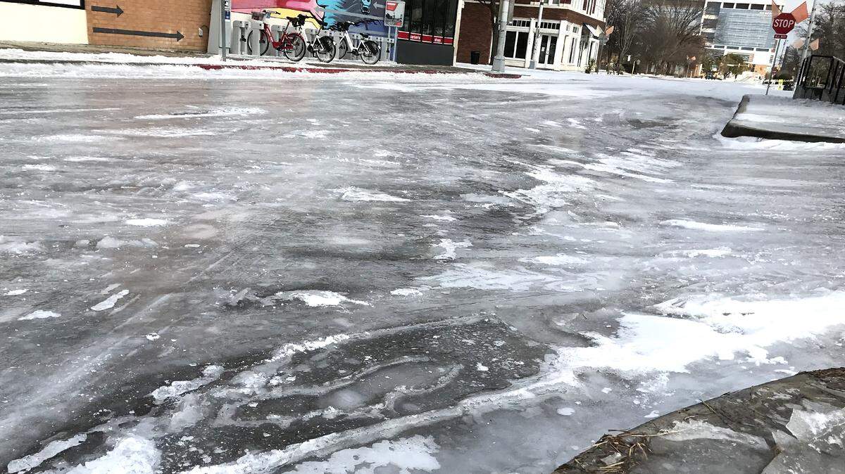
After rain Wednesday was met by freezing temperatures and snow in the days leading into the weekend, most of North Texas’ roads were slippery and icy early Saturday before thawing in the late morning and early afternoon.
Glimpses of the sun Friday melted some areas with ice, but low temperatures in the teens overnight caused many roadways to refreeze and remain hazardous to commuters. Temperatures remained in the high teens to low 20s Saturday morning and began to gradually climb to a high in the low to mid 40s.
By 10:30 a.m., temperatures in Fort Worth were above freezing and nearing 35 degrees, as most roads began to defrost, leaving few visible areas with ice.
“It’s cold out there this morning, so make sure to bundle up if heading outside, and watch for slick spots on the road! While some ice did melt yesterday afternoon, there is definitely still some patchy ice out there this morning,” the National Weather Service said Saturday.
TxDOT Fort Worth urged drivers to watch for refrozen slush and black ice early Saturday, especially near bridges, overpasses and shaded areas.
“Conditions in the nine-county Fort Worth District of TxDOT look good. We will have crews out working today again,” Shawna Russell of TxDOT Fort Worth said. “There are still slick spots as is the case with any winter weather event, so we are encouraging motorists to slow down, allow extra space, be aware, and drive to conditions. We ask that the traveling public to please help our efforts by giving our crews and equipment some extra space to work as we continue day seven of working this weather event.”
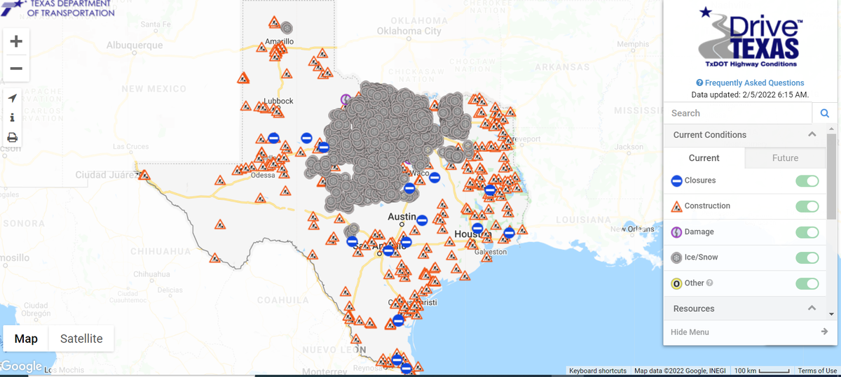
Most icy roads were in North and Central Texas on Saturday morning, according to DriveTexas.
Eastbound State Highway 183, Southwest Boulevard, at Bryant Irvin Road in Fort Worth closed around 11 p.m. Friday, due to ice, and had reopened as of 10:55 a.m. Saturday, Fort Worth police said.
Weather is expected to continue to improve throughout the week, with temperatures climbing back into the 60s by Tuesday. There is no chance of precipitation in the upcoming forecast, the weather service said.
“After that brief wintry weather interruption, we now return you to your regularly scheduled dry weather pattern on the La Nina channel,” the National Weather Service said. “Through the next 10 days, our blend of computer models shows little to no precipitation in the region. “
This story was originally published February 5, 2022 at 6:42 AM.