Monday snow forecast for Fort Worth & North Texas: 2 to 5 inches possible this week
Significant snowfall is expected across North and Central Texas late Wednesday, Jan. 8, through early Friday, Jan. 10, according to the National Weather Service Fort Worth.
A “rain-snow mix” is expected, so the exact amounts of snow the area will receive is unknown right now, but the NWS is expecting anywhere from 2 to 5 inches of snow Wednesday night into Friday morning.
A strong upper storm system will depart northwest Mexico and arrive in Texas late Wednesday. As a result, temperatures are expected to fall below freezing Wednesday night as moisture increases in the region, the NWS said.
Ahead of the expected snowfall, North Texans woke up to freezing temperatures in the 20s on Monday, Jan. 6.
High temperatures will be in the mid-30s to low 40s on Monday, with wind chills between 20 to 30 degrees this afternoon, according to the NWS. Overnight lows will again drop into the 10s and 20s.
Texas Gov. Greg Abbott on Monday directed the Texas Division of Emergency Management to activate state emergency response resources ahead of the winter storm.
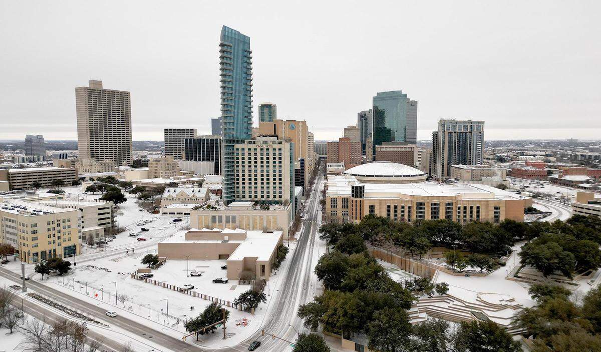
When will snow arrive in Fort Worth this week?
Areas of snow are likely to develop late Wednesday into early Thursday, Jan. 9, and “increase in coverage and intensity throughout the day,” the NWS said.
Currently, there’s a low chance that wintry precipitation could start west of Interstate 35 as early as Wednesday afternoon. However, this batch of snow would be light and unlikely to accumulate, per the NWS.
Thursday temperatures will be near or above freezing, with snow being the main precipitation type in North Texas. In Central Texas on Thursday, a rain/snow mix is expected and could cause light icing or sleet in the region.
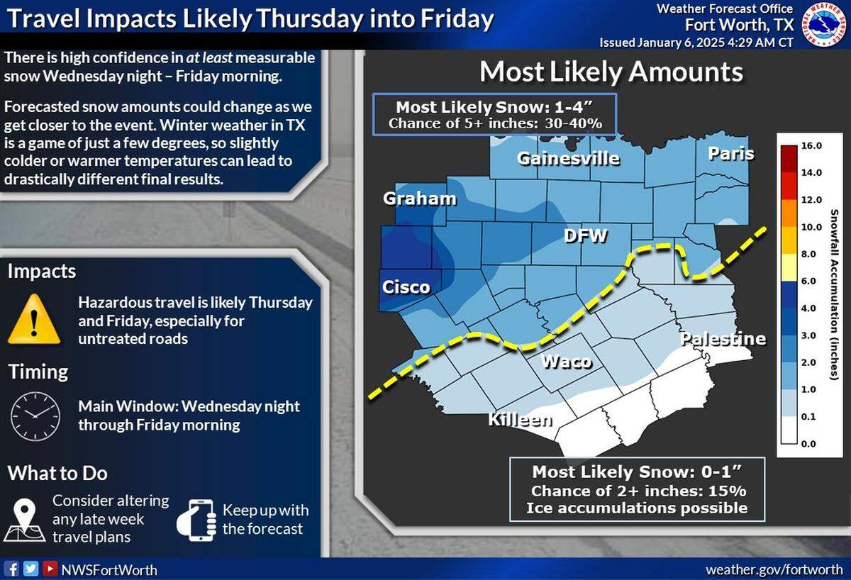
Snowfall on Thursday could become heavy at times throughout the day for parts of North Texas, the NWS said.
As of now, the current forecast shows 1-4 inches of snowfall accumulation across the Metroplex. Central Texas is expected to have much lighter accumulation up to 1 inch.
There’s a 30% chance for snow accumulation to exceed 6 inches west and northwest of the Metroplex, according to the NWS.
Widespread travel impacts due to snow and ice, or a combination of both, are expected for much of North Texas this week. Anything that melts during the day on Thursday is likely to refreeze that night as temperatures fall below freezing again.
Wintry precipitation will eventually come to an end on Friday, according to the NWS.
.png "image (15).png")
Will this week’s snow strain the Texas power grid?
For those living in the state during the winter storm four years ago, any chance of winter weather can bring back fears of blackouts, but grid conditions are projected to be sufficient over the coming days, according to forecasts from the Electric Reliability Council of Texas (ERCOT).
Historic winter storms in Fort Worth
It doesn’t snow often in North Texas, but when it does, you’re likely to remember it. Here’s a look back at how the Fort Worth Star-Telegram’s photographers documented winter storms over the past 100 years. How many of these snowfalls do you remember?
New to Texas? Here’s what to do to prepare for the snow
Texas cities weren’t built with winter in mind, so when it does get below freezing, we tend to take every precaution we can. Here’s how to take care of your house and car before the worst weather hits.
What the horrible February 2021 freeze looked like in Fort Worth
The snow that blanketed North Texas on Feb. 14, 2021 kicked off the coldest winter storm in Texas since December 1989, a record-breaking disaster that caused widespread, prolonged power outages across Texas.
See photos of what that storm looked like in Fort Worth here.
This story is developing and will be updated.
This story was originally published January 6, 2025 at 10:41 AM with the headline "Monday snow forecast for Fort Worth & North Texas: 2 to 5 inches possible this week."