It’s freezing in Fort Worth to start the week. Here’s when it’ll warm up, rain will fall

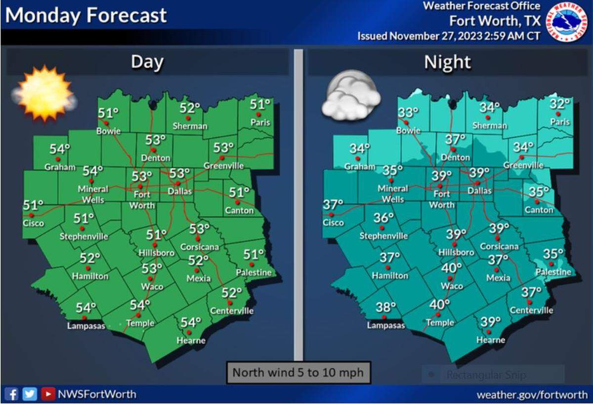
A cold front that rolled into North Texas over the weekend kept temperatures cool Monday with highs in the lower and middle 50s. A gradual warm-up is expected mid-week with near to slightly above normal temperatures returning, according to the National Weather Service in Fort Worth.
Overnight temperatures Monday will again dip into the low- to mid-30s in North Texas.
There are chances for showers and thunderstorms in North Texas by early Thursday. While the severe weather threat is low at this time, some strong storms may still occur, per NWS Fort Worth.
“North and Central Texas will become sandwiched between the Deep South surface ridge and a strengthening trough in lee of the Rockies,” the forecast says. “Return flow out ahead of the shortwave will intensify as a result, drawing Gulf moisture northward through the region Wednesday night and Thursday.”
Tuesday is forecast to be sunny in Dallas-Fort Worth with a high near 59 and Wednesday partly sunny with a high near 62. A 50% chance of showers and thunderstorms will exist Thursday, a mostly cloudy day with a high near 65. Friday is expected to be mostly sunny with a high near 56 degrees. Going into the weekend, Saturday has a 30% chance of showers and Sunday will be partly sunny with a high near 62, according to the NWS Fort Worth forecast.