Large hail and flooding expected in Dallas-Fort Worth. Here’s when storms arrive Tuesday
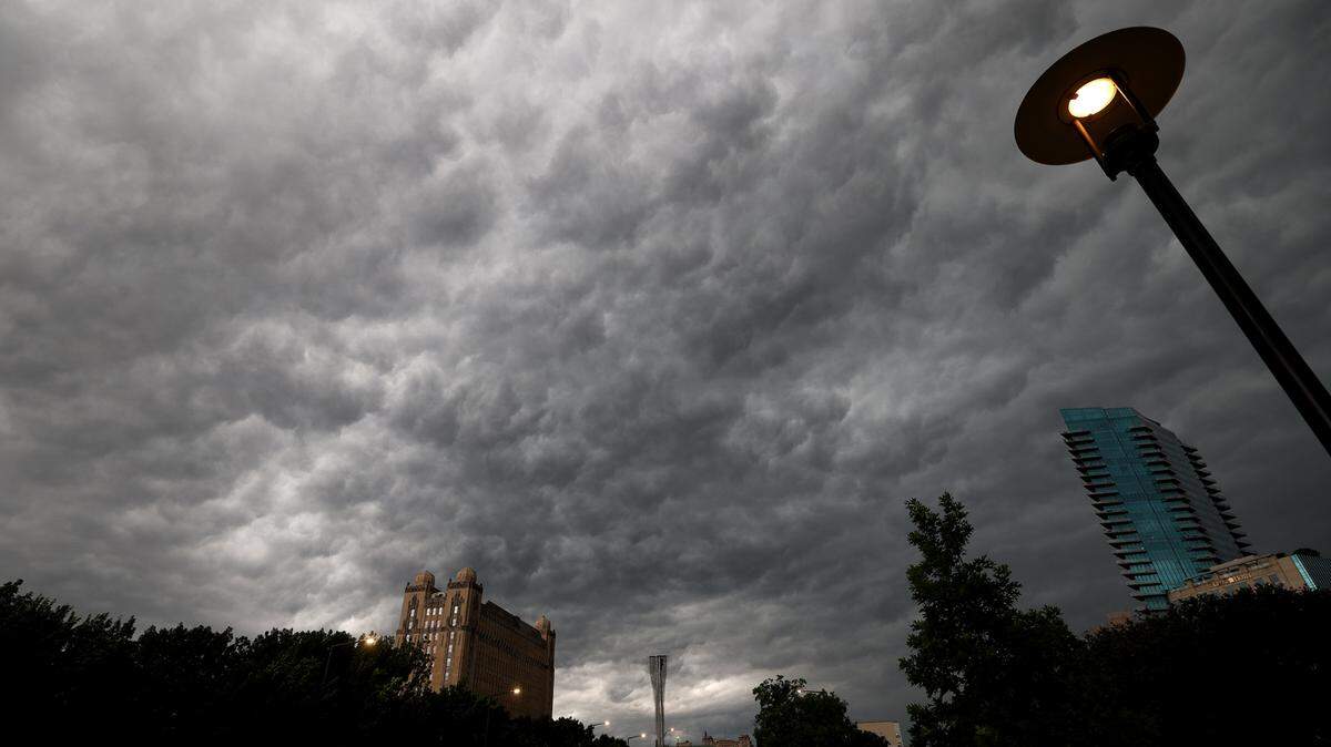
Many North Texans woke up to severe weather Tuesday morning, which will continue throughout the day with threats of damaging winds, hail and flash flooding.
Over the weekend, a line of severe storms destroyed buildings and flipped 18-wheelers in Denton and Cooke counties late Saturday and early Sunday morning. At least seven people were killed, and at least 100 people were injured, Gov. Greg Abbott said.
More than 600,000 Oncor customers were without electricity about 9 a.m. Tuesday as high winds downed trees and power lines. Hail up to golf ball size fell in parts of Tarrant and Dallas counties Tuesday morning.
For the rest of Tuesday, North Texans can expect scattered to widespread thunderstorms across the region with threats of damaging winds, hail, heavy rain that could cause flash flooding and possible tornadoes, according to the National Weather Service’s Fort Worth office.
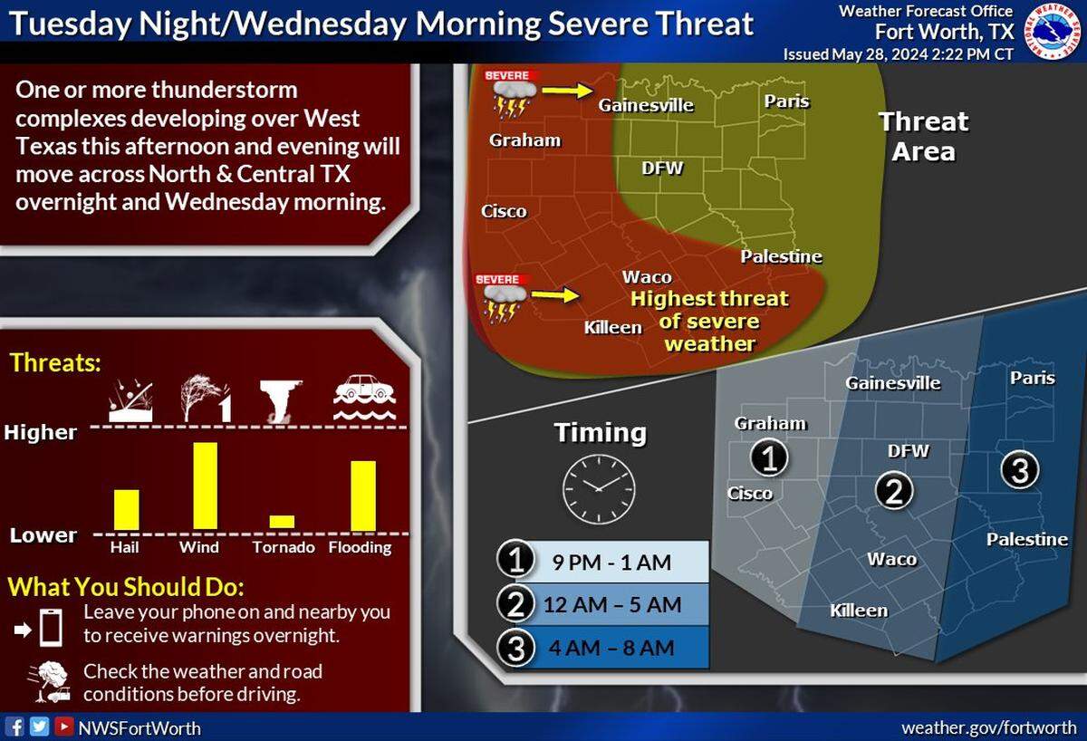
Storm timing for Tuesday’s weather will begin in the evening and last until early Wednesday morning.
Areas to the west of the Metroplex near Graham and Cisco could see storms between 9 p.m. and 1 a.m. In Dallas-Fort Worth, storm timing will last from midnight to 5 a.m.
Storm timing for East Texas near Paris and Palestine, is from 4 to 8 a.m., according to the NWS. The primary threat will be damaging winds, large hail and flooding.
“An isolated tornado threat cannot be ruled out either,” the NWS said in a weather bulletin.
After a stormy Tuesday, North Texas could see storms again on Wednesday.
The region will remain in an unsettled weather pattern on Wednesday, which may generate more daytime or evening storms. All modes of severe weather may be possible on Wednesday, according to the NWS.
Going into Thursday, another batch of thunderstorms are in the forecast for North Texas.
Storms will develop northwest of the Metroplex during daytime hours on Thursday, moving into Dallas-Fort Worth proper over the evening and overnight hours. Large hail, damaging winds, heavy rain and tornadic threat may all be possible on Thursday, according to the NWS.
.png "image (7).png")
Temperatures will be in the mid to upper 80s for most of the week in North Texas.
Tuesday’s high is in the upper 80s, followed by the low 80s on Wednesday and Thursday. North Texas recorded its hottest temperature of the year thus far over the weekend at 98 degrees on Sunday.
With summer right around the corner, all signs are pointing for “above normal” temperatures for North Texas over the next few sweltering months.
This story was originally published May 28, 2024 at 11:05 AM.